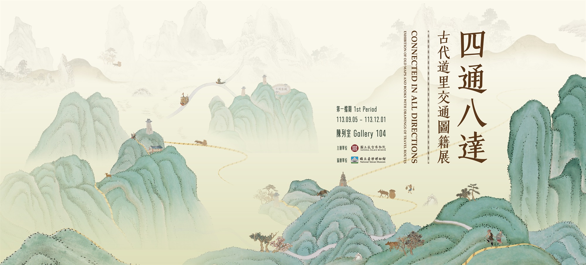
North-South Avenue
Among the existing Qing dynasty maps of Taiwan such as the “Map of Taiwan during the Kangxi Period,” “Map of the Aboriginal Boundaries in Taiwan,” “Map of the Original Han Boundaries in Taiwan in the Late-18th Century,” “Map of Aboriginal Communities in Taiwan,” “Map of Taiwan during the Qianlong Period,” and “Map of Taiwan and Pescadores,” usually a dotted line can be seen running north to south at the bottom of the maps. This line is the North-South Avenue. According to research, this avenue dates back to the Dutch rule (1624-1662) in Taiwan. By the Kangxi era (1662-1722), the avenue had become the main artery for travel between northern and southern Taiwan. The exhibited “Map of Taiwan and Pescadores” shows the Taiwanese landscape between 1723 and 1727, with the North-South Avenue drawn in a yellow dotted line and starting from Shamajitou (present-day Maobitou) in the south to the mouth of the Danshui River in the north, passing through Fengshan County, Taiwan Prefecture, Taiwan County, Zhuluo County, Changhua County, Niumashe, Zhuqianzhuang, and Dabalibenshe. Both Yu Yonghe (1645-?; Yu came to Taiwan in 1697 to collect sulfur) and Huang Shuji (?-1756; Huang came to Taiwan in 1722 to serve as the first Investigating Censor) traveled this route about 200-300 years ago, writing two books Small Sea Travel Diaries and Record of a Tour of Duty in the Taiwan Strait that depict Taiwan in the early days (i.e., road bustling with ox carts and pedestrians). Such images resemble those drawn in “Map of Taiwan during the Kangxi Period.”


