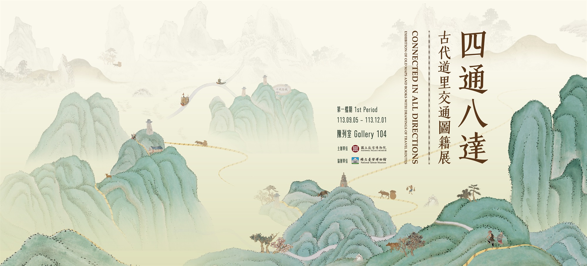
The Citizen’s Great Road
In ancient maps of transportation routes, those showing the routes between cities within provinces, prefectures, states, and counties are undoubtedly the most common. These routes are displayed differently in different eras. For example, maps from the Ming dynasty often use solid lines in various colors to denote roads, whereas those from the Qing dynasty, especially those after the mid-Qing dynasty, typically use dotted lines colored in yellow or red later. The exhibition items presented in this unit are divided into three sections: the first period the gazetteer and maps of Luancheng and Wangdu county, the “Road Map of the Kaifeng Prefecture in Henan”, and the “Map of Seawall in Jejiang Province”; the second period the gazetteer and maps of Dongguang and Liaocheng county, the “Complete Map of Zhili Province,” and two maps of Chizhou Prefecture and Guangde State from the “Prefecture Maps of Jiangnan.” These maps, spanning from the early 14th century to the early 20th century, not only show variations in road depictions but also allow for observations of changes in traditional ancient map styles.
-
Gazetteer and Map of the Luancheng County
Luancheng County was a part of Zhengding Prefecture post the Yongzheng era (1723-1735). Since 1928, it has become and remained a part of Hebei Province. This county map is centered on a square marking “Luancheng County” representing seat of the county government, with county roads depicted as red dotted lines radiating from the center. Road names and distances are shown using floating red tags written in ink. When read in the counterclockwise direction, readers will see “Major Road to Zhaozhou,” “Minor Road to Gaocheng County,” “Major Road to Zhengding,” “Minor Road to Huolu County,” and “Minor Road to Minyuan County.” This map was likely created during the late-Qing dynasty and early-Republic of China period, different from the time of the county records exhibited here.
-
-
Gazetteer and Map of the Wangdu CountyWangdu County was a part of Baoding Prefecture during the Qing dynasty. Today, it is within Hebei Province. The “Map of the Wangdu County” is depicted with an obtuse-angled rectangle marked with the characters “Wangdu,” representing the seat of the county government. Below the map are legends showing cities, rivers, railway, major roads, towns, and villages. The railway and roads generally run northeast to southwest, and the railway is likely the Luhan Railway constructed in 1900, suggesting that the map was drawn after the gazetteer displayed here.
-
-
Map of the Kaifeng Prefecture in Henan
This map is a part of Henan Province Map Set in the collection of the Palace Museum, illustrating the region within Kaifeng Prefecture during the early-Qing dynasty that includes one prefecture, four states, and twenty-nine counties. The map was painted on silk, oriented with north at the top and south at the bottom. The map shows a spider-web-like network of red dotted lines (i.e., roads) connecting various cities, with distances and directions to the city gates also provided. The depictions suggest that the map predates 1734 as Chen State and Xu State had not yet been upgraded to prefectures yet. However, the creation of the map was likely not long before this date.
-
-
Map for the Seawall of Jejiang Province
This map, with an inscription in the bottom left corner that reads “Qin Zhongkang, a candidate for county magistrate assistant, presented by artist Zhu Ruilin,” is one of the rare ancient maps that include both the dedication and the name of the artist. The map, which places the sea at the top and land at the bottom, first introduces Zhenhai County. Then, from right to left, the map displays the sea around the Ningbo Prefecture (in Jejiang Province) to that around the Shaoxing Prefecture (in Xiaoshan County, modern-day southern Hangzhou Bay), ending with Hangzhou County. The map has a dense network of waterways marked with black dotted lines enhanced by orange solid lines. Road systems between cities are prominently displayed, and distances and directions are roughly annotated around the cities.
-