Introduction
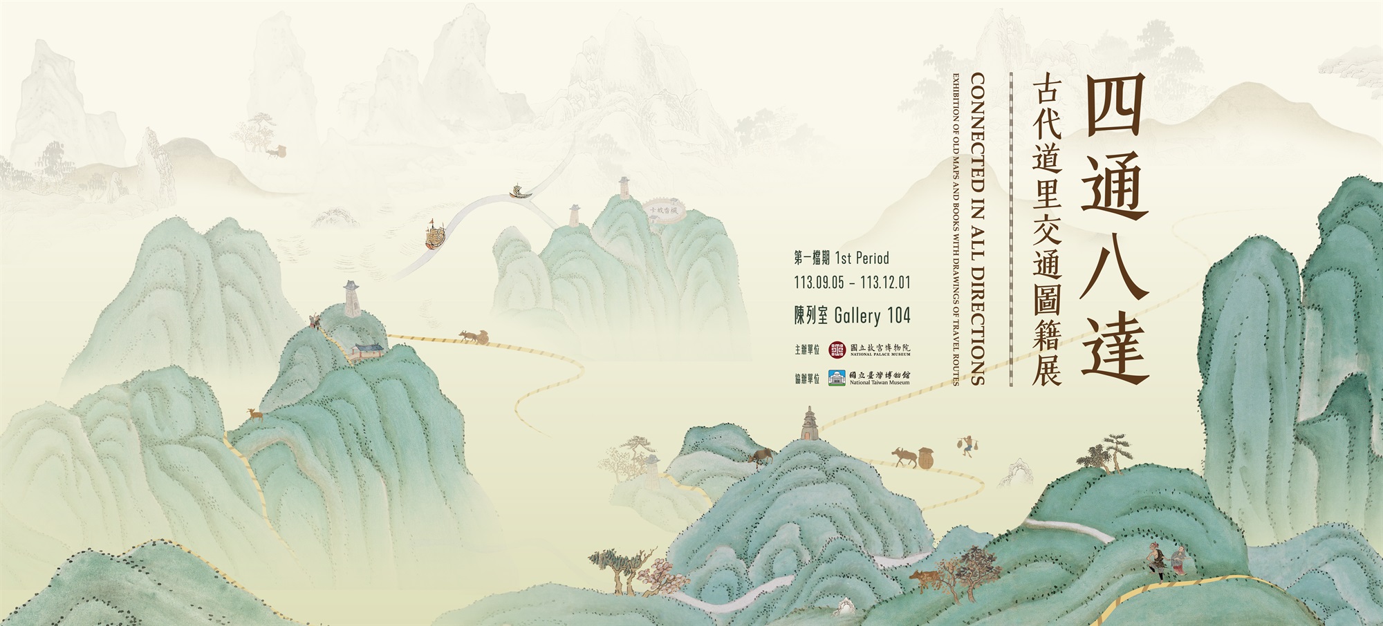
Old maps with drawings of travel routes primarily focus on travel routes and sometimes include roads and travel route distance-related information. Distance-related information can be found not only in maps but also in book illustrations. Accordingly, this exhibition exhibits all artifacts containing the related information of travel route.
Functionally, old maps and books with drawings of travel routes are somewhat comparable to electronic maps in that they both are designed to aid navigation and display the surrounding road landscapes. However, following the evolution of cartographic technology, the appearance, popularity, and convenience of maps today eclipse those of old maps and books. Nevertheless, compared to modern electronic maps, which are highly accessible and uniform in format, old maps with drawings of travel routes are diversified in types and styles (despite their low number). For example, they include travel permit and travel distance maps in business books, county and prefecture maps found in local chronicles, detailed round-trip maps prepared for imperial inspection tours and mausoleum visits, frontier maps used exclusively for military patrols, large-scale post road maps connecting various regions together, and local maps such as provincial, prefectural, state, and county maps.
This exhibition introduces the National Palace Museum’s collection of twenty sets of old maps and books with drawings of travel routes in the 14th to the early 20th century. The exhibition is divided into two periods: The first period will feature topics such as “A Broad View of Post Roads,” “North-South Avenue,” “Qing Emperors’ Mausoleum Visits,” “Traversing the World,” and “The Citizen’s Great Road,” whereas the second period will retain the same topics but add topics including “Patrol Routes Along the Frontier,” “Crossing Mountains and Ridges,” and “The Southern Patrol Route.”
In addition to the artifacts, interactive multimedia installation “Walking on the Roads of Taiwan” brings the travel routes depicted in “Map of Taiwan during the Kangxi Period” (housed in the National Taiwan Museum) , “Map of Taiwan during the Qianlong Period” and dynamic aerial photos of travel routes from Xinzhu to the National Palace Museum today together. This juxtaposition provides visitors with a vivid experience of walking the historic major north-south roads in ancient Taiwan.

