Painting the Land
Painting the Land: Rare Books on Geographical Matters
Rare books on matters related to geography, according to the traditional system of dividing books into four categories, fall into the geography section of histories. Selected for display in this part of the exhibit are such works as Jiangnan sheng ge daofu tubiao (Table of Maps for Regions and Prefectures in Jiangnan Province) and Chongxiu Taijun ge jianzhu tushuo (Illustrated Descriptions of the Reconstruction and Repair of Buildings in Taiwan Prefecture). These two, along with the illustrated descriptions of Zhejiang and Guangdong maps here, belong to the category of urban areas as well as prefectures and counties, while the three frontier illustrations for Shaanxi, Ningxia, and Gansu belong to the category of frontier defenses. And such works as Zhihe shiyi (Matters on the Governance of Rivers) and Huanghe tushuo (Illustrated Description of the Yellow River) here are part of the section on landscapes. In terms of format, books on geographical matters include both illustrations and descriptions. Generally, the illustration appears first followed by the description. Some feature one illustration and a single description, while others have one illustration and multiple descriptions.
As for the illustrations in the above texts, the Ming painting of Table of Maps for Regions and Prefectures in Jiangnan Province and the three books on frontier defenses are mostly done in mineral blues and greens with only a few watercolors, the pigments bright, beautiful, and clearly in the so-called “greater” blue-and-green style. However, the local volumes of painted manuscripts on Zhejiang and Guangdong later from the Kangxi era (1662-1722) in the Qing dynasty, in addition to crossing over to the medium of silk cloth, sees the use of vegetable-based watercolors increase considerably. And upon reaching the Illustrated Description of the Reconstruction and Repair of Buildings in Taiwan Prefecture in the Qianlong period (1736-1795), the use of bright colors is still retained, but the level of richness compared to Ming dynasty paintings is already quite different. Thus, generally, books with paintings of landscape features went from the greater to the lesser blue-and-green style and even evolved into light-ocher landscape painting.
-
Jiangnan Gedaofu Tubiao(Zhenjiangfu Ji biaoyi)
Map of All the Circuits and Prefectures of the Jiangsu and Anhui Provinces(Zhenjiang Prefecture and Table One)
Manuscript copy with colour illustrations, early Ming dynasty
Jiangnan Gedaofu Tubiao contains maps and a table. The maps, drawn in heavy colors, are those of the Yingtian Prefecture, Zhenjian Prefecture, Taiping Prefecture, Chizhou Prefecture, Huizhou Prefecture, and Guangdezhou. The table, which corresponds to the map, has vertical text, double lines around the four sides, black in the center, and twin fish tails on opposite sides. Except for Guangdezhou and Chizhoufu, which have half a page and a page left, respectively, the remaining prefectures have two to three pages left. According to the content and styles of the maps and table, they most likely show the areas directly under the jurisdiction of Nanjing between 1373 and 1376. In addition to the maps of the five prefectures and zhou presented here, those of other prefectures and zhou such as Fengyang, Huai’an, Yangzhou, Suzhou, Songjiang, Changzhou, Luzhou, and Ningguo are presumed to have been drawn. However, they are all lost today.
-
-
Gansu Zhenzhan Tulue
Sketch Map of the Gansu Military Districts
Illustrated manuscript, Jiajing reign (1522-1566), Ming dynasty
Gansuzhen Zhanshou Tulue, a Ming dynasty map in the collection of the National Palace Museum, shows Guyuan, Ningxia, and Gansu, three of the towns in Shaanxi. The first half of the map depicts the town of Gansu from Hongchengzibao in the east to Suzhouwei in the west. Each of the 13 sections has an illustration and explanation, where the illustrations focus on the castles and surrounding military facilities, mountains, rivers, and human culture, whereas the explanations describe the topographic features of the corresponding castle areas, soldier deployment, and enemies’ attack routes and corresponding defensive strategies. The second half of the map contains Xiyu Tudi Renwu Tu (The Atlas of Territories, Peoples, and Natural products of the Western Regions) and Xiyu Tudi Renwu Lüe (Commentary on Territories, Peoples, and Natural Products of the Western Regions), which were drawn in heavy colors. The illustrations precede the explanations and, according to the content of the map, are surmised to have been created in 1544.
-
-
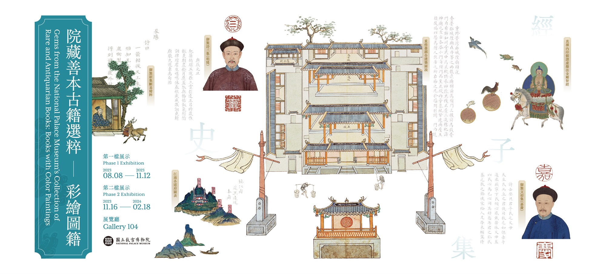
Chongxiu Taijun Gejianzhu Tushuo
Illustrations and Discourses on the Restoration of Official Buildings in the Prefecture of Taiwan(Map of Reconstruction of the Chou-nan salt fields with Annotations)
Qianlong reign (1736-1795), Qing dynasty
Album leaves, colours on paperAmong the six salt fields in Taijun, the Chou-nan salt fields produced the most salt and were located more than ten li away from the north gate of the Juncheng Township. Chou-nan used to have classrooms, salt warehouses, and salt fields. However, many classrooms and salt warehouses collapsed over time. When Jiang Yuanshu took office, he believed that areas where salt was produced and where classes were held should not be allowed to collapse. Accordingly, he rebuilt the classrooms, their left and right wing rooms, picket stations, and salt warehouses. On the right side of the map is a well called “fujing.” The history of “fujing” is as follows: Because Chou-nan salt fields were located in seaside salt areas, it was very difficult and inconvenient for residents to collect water from their respective administrative divisions. When Jiang Yuanshu rebuilt classrooms, he found a location that could supply spring water. Upon such a discovery, he built a well and named it “fujing.” By looking at Chongxiu Taijun Gejianzhu Tushu, readers can catch a glimpse of the salt fields in the past.
-
-
Chongxiu Taijun Gejianzhu Tushuo
Illustrations and Discourses on the Restoration of Official Buildings in the Prefecture of Taiwan
(Map of Reconstruction of the Heavenly Queen Temple in the Taiwan Prefecture with Annotations)Qianlong reign (1736-1795), Qing dynasty
Album leaves, colours on paperMazu is well-venerated in southern China, where “officials and merchants who traveled by sea all worshipped her.” After Jiang Yuanshu carried out “all national governance-related great works,” he remarked that the Heavenly Queen Temple where the Prince of Ningjing Former Residence was previously located was “grand in scale and system.” However, he also stated that the temple “will fall apart if it is not repaired in time.” In 1778, Jiang invited gentry to renovate the temple. According to the illustration and discourse, the old temple “has a front gate and a platform outside the gate that serves as a performance stage. Inside the gate are two corridors for salt utensils. The main hall is located in the middle, where the statues of gods are enshrined. Behind the temple is a main building with two entrances, where various gods are worshipped. On the right side of the temple is a building with three halls that serve as the official hall surrounded by walls.” The sizable scale of the temple can be seen from this map.
-